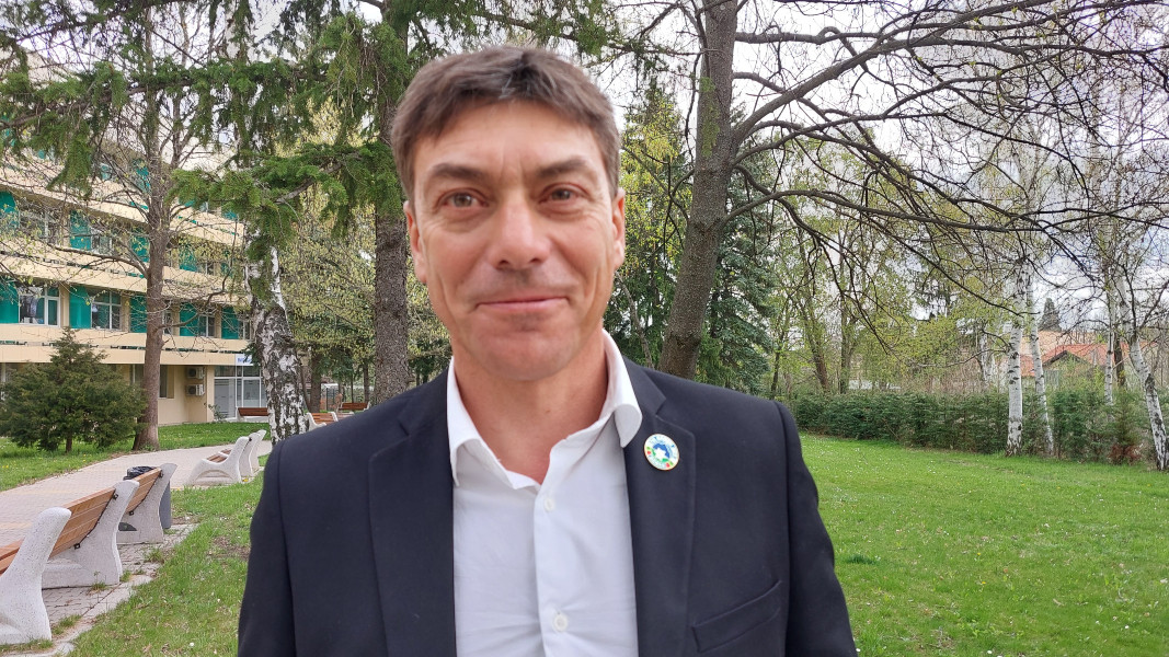
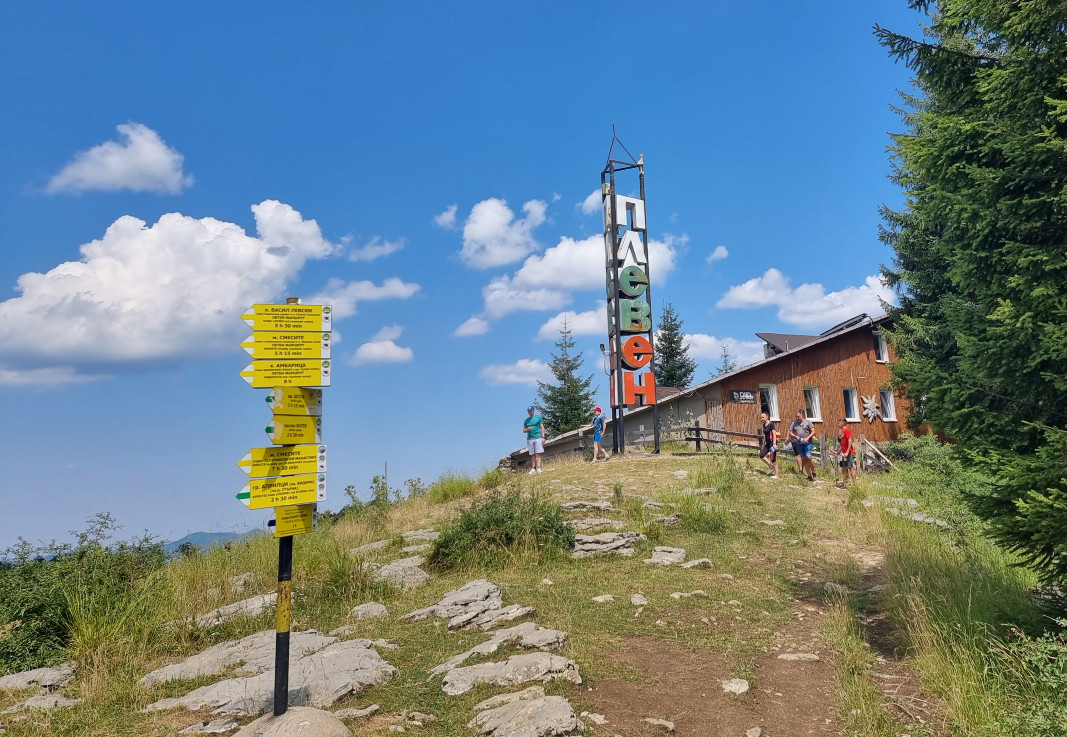
Summer is mountain hiking season, when hundreds of trekkers from Bulgaria and abroad pick up their trekking poles to start on their way up the mountains. However, the weather has continued unusually cool, and there is still snow in the upper reaches of Mounts Rila and Pirin, and in some parts of the Central Balkan Range. In the other mountains the trails are passable, and the mountain huts are ready for tourists during the summer season, says Ventsislav Venev, chairman of the Bulgarian Tourist Union (BTU). “As usual in spring, we are clearing the pathways and preparing them for the season, and that includes refreshing the markings,” he says and adds:

“Tourists should be warned there is a set BTU standard for marks – a 10 by 10 cm. square with two white lines and with colour in the middle. The colours are yellow, blue, red and green. Any other markings you may see are not by the Bulgarian Tourist Union. It is very important to know that so the people following these trails will be safe.”
There are three main trans-European long-distance trails passing across the territory of Bulgaria – the E3, E4 and E8, the most popular among them being the E3 long-distance European path that connects Kom peak in the Balkan Range with Cape Emine on the Black sea shore. The E4 starts from Mount Vitosha near Sofia, traverses the most beautiful spots in Mount Rila and Pirin, then goes on to the border mountain of Slavyanka, to continue on the territory of neighbouring Greece. The E8 is for the not-so-experienced trekkers, meandering across the rounded slopes of the Rhodopes, to continue on the territory of Greece. But how accessible are these trails to tourists?
“The marks along the E3 (Kom-Emine) and the E4 are pretty good. The E8 is a tremendously long itinerary and the markings are sometimes lost along the way, in places there are additional detours, as the classical trail is impassable, or the pathways are old. That is why there are duplicate options for the E8. People should be informed of these details before they start, and have a GPS with the respective tracks uploaded,” says.
Along most itineraries there are enough huts and shelters. But there are places with no accommodation facilities, and hikers should have tents or some other option for spending the night. Along the E3 European long distance path, for example in the region of the towns of Sliven and Kotel, tourists are advised to camp out in Aglikina meadow.
The Bulgarian Tourist Union, along with partners from other organizations, is currently working on a website to provide updates on the state of the markings and the conditions in the huts along the way.
“People can contact us directly – we have a telephone line open with our 135 associations nationwide, which take care of the infrastructure,” says Ventsislav Venev in an interview with Radio Bulgaria.
Day-hikes from the place of accommodation to nearby mountain destination are an option that has been gaining popularity, as have combined itineraries. For example, tourists can take the narrow-gauge railway line to the highest-altitude train station in the Balkans in Avramovo village in the Rhodopes, and from there hike along a trail leading up to Veliytsa peak and Ortsevo village, where they can spend the night and then go on to the beautiful town of Yakoruda, then back with the narrow-gauge train.
“Foreigners often come really well prepared, morethan the Bulgarian tourists even. They know what to expect in Bulgaria when it comes to accommodation, the trails, the markings, etc., but they call us at the BTU just in case. People are interested most of all in Rila and Pirin, and less in the Balkan Range. I would even go so far as to say that in the high mountains you are more likely to encounter foreigners than Bulgarian trekkers,” Ventsislav Venev says.
More:
Translated from the Bulgarian and posted by Milena Daynova
Photos: BTA
In the heart of Northern Bulgaria lies the Devetashko Plateau (also Devetaki Plateau). Here, nature seems to have slowed down to reveal its raw beauty- deep canyons and chasms, waterfalls tumbling over limestone cliffs, and breathtaking views. The most..
Cape Shabla marks the easternmost point of Bulgaria – a quiet, windswept stretch of land jutting into the Black Sea. Here stands the oldest, and possibly the most beautiful, lighthouse on Bulgaria's coast. Painted in red and white stripes, it rises..
A month before officially opening its 23rd ski season, Bansko has been ranked among the 25 best winter destinations in the world. The 16-week online competition featured 211 resorts from five continents. More than 4.3 million people..
In the heart of Northern Bulgaria lies the Devetashko Plateau (also Devetaki Plateau). Here, nature seems to have slowed down to reveal its raw beauty-..

+359 2 9336 661
